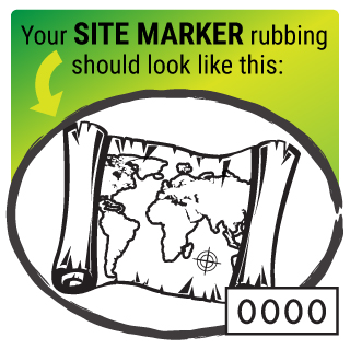
Map
Difficulty: Easy  Distance: 0.39 miles
Restrooms: Yes
Stroller Friendly: Yes
Wheelchair Friendly: No
Playground: Yes
Dog Friendly: Yes
Location: Heidelberg Township Park/Playground
Distance: 0.39 miles
Restrooms: Yes
Stroller Friendly: Yes
Wheelchair Friendly: No
Playground: Yes
Dog Friendly: Yes
Location: Heidelberg Township Park/Playground
Clues for Your Hike
- Park in the parking area off of Mill Road.
- Stand in the grass with your back to the parking area, and turn right to follow the grass perimeter, passing the
township building with white garage doors on your right.
- Shortly after passing a small, old gas station on your right, follow the grass perimeter as it curves left.
- Continue walking in the grass, alongside the gravel road, and you should pass a farm on your right.
- Follow the grass perimeter as it curves left, passing a set of signs on your right.
- As you continue to walk in the grass alongside the gravel road, you will pass a baseball field and set of bleachers on
your left; from there, the post will be straight ahead.
- To return to your vehicle, keep walking in the direction you were headed, passing the post on your right, and
immediately turning left to walk in between (or alongside if needed) the basketball court fence and tree line.
- Keep walking straight ahead, following the tree line on your right, walking between the tree line and bleachers.
- Continue following the tree line as it curves left and follows the outline of the baseball field; be sure to stay to the
left of the trees to keep away from the road.
- After passing another set of bleachers on your left, continue walking between the rows of trees straight ahead, passing
the playground on your left and the bathrooms on your right, and you will see the parking area ahead.
Did You Know?
- The first map to contain the name “America” was made by a German cartographer, in 1507. The US Library of Congress purchased it for $10 million in 2013.
- Maps have existed since the times of cave paintings. There is a map of stars that is believed to be approximately 16,500 years old.
- In the beginning of the 1930s, maps were given out for free in American gas stations, and the estimated number handed out was 8 billion.